Data
All georeferenced data (used as input or generated during the TOPO-DataGen process) are in webmarcator EPSG:3857.
Input data
Classified point cloud
Description : models all natural and man-made objects of the surface in the form of a classified point cloud. These high-accuracy and high spatial density data are collected by airborne LiDAR.
Format : las
Data sample : SURFACE3D demo

Digital surface model
Description : digital surface model (DSM) which represents the earth’s surface including visible and permanent landscape elements such as soil, natural cover, and all sorts of constructive work with the exception of power lines and masts.
Format : tif
Data sample : SURFACE3D Raster demo

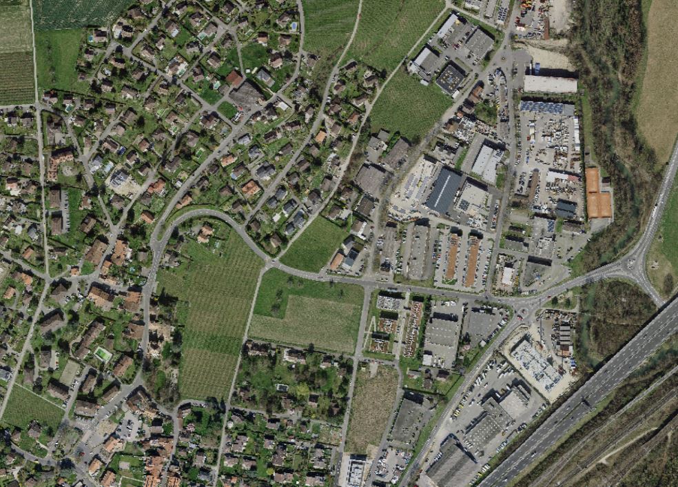
Orthophoto mosaic
Description : Digital color aerial photographs.
Format : tif
Data sample : SWISSIMAGE 10cm demo
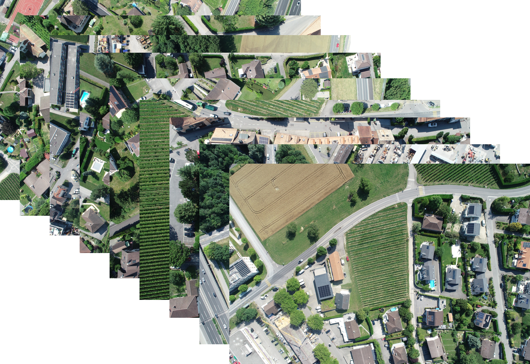
Drone footage (optional)
Description : Real georeferenced images. These images are typically take from a done and contain 6D pose parameters (longitude, latitude, elevation, roll, pitch, yaw.
If provided, the position of these pictures will be used to define the poses of the output products. It creates real-synthetics pairs that share the same geolocalisation (6D position). However it is possible to generate the output products without providing any drone footages. In this case, 3D near-random position will be generated using Latin Hypercube Sampling (LHS) method.
Note
The data sample provided are taken from campaign made with a Phantom4 drone. Other drones may produce slightlydifferent pictures metadata (EXIF).
Format : JEPG
Data sample : done footage
Output data
The following data are generated by the TOPO-DataGen process.
Synthetic RGB image
Description : RGB synthetic raster based on the 3D textured model rendered by Cesium JS
Format : png

Scene coordinates
Description : Pixel-wise scene coordinates
Format : png
Semantics label
Description : Define the nature of each pixel based on the classified point cloud categories.
Format : png

Depth
Description : Distance between the camera and the pixel
Format : png

Surface normal vector
Description : Direction of the surface normal vector
Format : png

2D/3D keypoints
Description : Keypoints are points of interest in an image that can be used to compare images and perform tasks such as image alignment and registration
Format : png
